
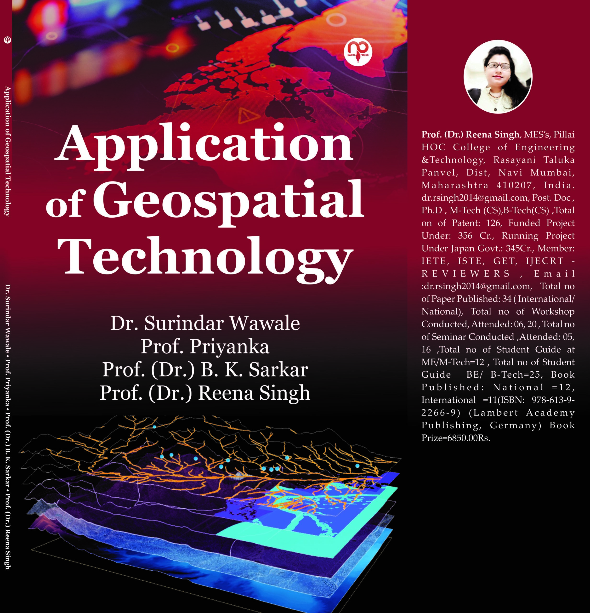
Geospatial innovation (otherwise called geomatics) is a multidisciplinary field that incorporates teaches like studying, photogrammetry, remote detecting, planning, geographic data frameworks (GIS), geodesy and worldwide route satellite framework (GNSS) (PunCheng, 2001). As per the U.S. Division of Work, geospatial industry can be viewed as “a data innovation field of training that obtains, makes due, deciphers,
coordinates, shows, dissects, or in any case utilizes information zeroing in on the geographic, fleeting, and spatial setting” (Klinkenberg, 2007). Another coordinated scholarly field has a different scope of uses (Konen, 2002). The uses of geomatics are in the fields of accuracy
cultivating, metropolitan preparation, offices the executives, business geographics, security and knowledge, robotized planning, land the
board, ecological administration, land organization, telecom, mechanized machine control, structural designing, etc. Indeed, even utilizations of certain gadgets like PDAs, RFID (radio recurrence recognizable proof) labels and video observation cameras can be viewed as a component
of geospatial innovations, since they use area data (Klinkenberg, 2007).
You are previewing: Application of Geospatial Technology
Application of Geospatial Technology
Related Products
-
 Python Programming₹395.00
 -
 Generating endless ideas₹995.00
 -
-

-
Application of Geospatial Technology
Geospatial innovation (otherwise called geomatics) is a multidisciplinary field that incorporates teaches like studying, photogrammetry, remote detecting, planning, geographic data frameworks (GIS), geodesy and worldwide route satellite framework (GNSS) (PunCheng, 2001). As per the U.S. Division of Work, geospatial industry can be viewed as “a data innovation field of training that obtains, makes due, deciphers,
coordinates, shows, dissects, or in any case utilizes information zeroing in on the geographic, fleeting, and spatial setting” (Klinkenberg, 2007). Another coordinated scholarly field has a different scope of uses (Konen, 2002). The uses of geomatics are in the fields of accuracy
cultivating, metropolitan preparation, offices the executives, business geographics, security and knowledge, robotized planning, land the
board, ecological administration, land organization, telecom, mechanized machine control, structural designing, etc. Indeed, even utilizations of certain gadgets like PDAs, RFID (radio recurrence recognizable proof) labels and video observation cameras can be viewed as a component
of geospatial innovations, since they use area data (Klinkenberg, 2007).


Editorial Review
Geospatial innovation (otherwise called geomatics) is a multidisciplinary
field that incorporates teaches like studying, photogrammetry, remote
detecting, planning, geographic data frameworks (GIS), geodesy and
worldwide route satellite framework (GNSS) (PunCheng, 2001). As
per the U.S. Division of Work, geospatial industry can be viewed as “a
data innovation field of training that obtains, makes due, deciphers,
coordinates, shows, dissects, or in any case utilizes information zeroing
in on the geographic, fleeting, and spatial setting” (Klinkenberg, 2007).
Another coordinated scholarly field has a different scope of uses
(Konen, 2002). The uses of geomatics are in the fields of accuracy
cultivating, metropolitan preparation, offices the executives, business
geographics, security and knowledge, robotized planning, land the
board, ecological administration, land organization, telecom, mechanized
machine control, structural designing, etc. Indeed, even utilizations of
certain gadgets like PDAs, RFID (radio recurrence recognizable proof)
labels and video observation cameras can be viewed as a component
of geospatial innovations, since they use area data (Klinkenberg, 2007).
Related Products


The Socio-Economic Impact of the Pandemic on the Construction Sector in India.


Reviews
There are no reviews yet.
Only logged in customers who have purchased this product may leave a review.